

By Annie O’Neill EDITORIAL INTERN
Out in the Pacific Ocean, one of the strongest El Niños ever recorded is taking shape, a system that points toward another warm, dry winter for southwest Montana. Bozeman-based meteorologist Mike Heard calls it “one of the strongest El Niño events of our lifetime.”
Last winter was the warmest on record for southwest Montana, Heard said, and snow arrived “a little later and melted off a little sooner.” This year, he expects “almost a carbon copy:” a slow start, periodic snow showers, and an early finish.

While a forecast tells you how warm and dry a winter is likely to be, it doesn’t reveal what that does to the snow underfoot. To find out what the outlook leaves out, EBS spoke with two Montana State University snow researchers.
MSU has deep roots in snow research. Robyn Gotz, an MSU Earth sciences researcher, said the program began at Bridger Bowl Ski Area in the 1950s under professors Charles Bradley and John Montagne. Today, its graduates work as avalanche forecasters, snow hydrologists and transportation officials, among them Karl Birkeland, who earned his master’s in Earth sciences at MSU and later directed the U.S. Forest Service National Avalanche Center.
“There’s no other place that I know of where I can find such a broad collection of snow science research,” Gotz said.
The work reaches into engineering, too. Sam Verplanck, an assistant professor of civil engineering at MSU researches snow mechanics and avalanche behavior, and said MSU’s engineering building houses cold chambers for studying how the sun changes snow’s properties. He and his predecessors have also studied how snow responds to explosives used for avalanche mitigation.
Where to look for a forecast you can trust
Long-range forecasts are easy to find online, but they aren’t equally reliable, and the sources experts use are more specific than what turns up in a search. Gotz starts with the National Oceanic and Atmospheric Administration‘s Climate Prediction Center and the Colorado Avalanche Information Center. She likes CAIC’s regional-scale forecasts, which fall between the continent-sized outlooks and the local conditions that can change from one slope to the next. For local snow conditions, she trusts the Gallatin National Forest Avalanche Center. Heard’s preference is the National Weather Service.
Heard said that a “super” El Niño is strengthening with each monthly Climate Prediction Center update. He has seen strong El Niños bring ample snow to Montana, but he said the most likely outcome this year is warm and dry.
Gotz cited the CPC’s December-through-February outlook, which favors above-average temperatures—roughly 40 to 60 percent odds across the northern part of the U.S—and leans toward below-average precipitation in the interior Northwest. Heard described the latest outlook as having a “bullseye” for below-normal precipitation and above-average temperatures over Montana. The reason for the warmer, drier weather is the jet stream. Heard said the tropical jet stream should pull most Pacific moisture south of Montana, which would instead favor the southern Rockies, California and Texas.
There are caveats. “No two El Niños are alike for Montana,” Heard said, and forecasts of the driest and warmest sometimes land in the middle. He said it’s too early to get “hyperlocal” and to look towards NOAA’s official winter outlook that comes out Oct. 15.
Snow is also harder to forecast than weather—Gotz said that difference comes down to scale. Forecasts work at three sizes: continent-sized, regional and local. But snow can vary at an even smaller scale, from one slope to the next. Few products forecast at the local scale, and applying coarse models to small areas “always involves some kind of error,” she said.
Verplanck put it another way: “an inch of snow isn’t just an inch of snow.” Wind and air temperature can produce drifted slabs or “cold smoke,” complicating things.
Inside a warm, dry snowpack
Seasonal outlooks point to less snow overall, Gotz said, but they say nothing about what’s inside it.
“It’s good information, but it’s not enough information,” she said.
She said a warm, dry year can go several ways. It can mean less faceting at the base of the pack, which means fewer persistent weak layers that linger into spring. It can also mean more sun crusts and rain crusts, water draining through the snow, and weak layers forming around those crusts.
Rain is a particular problem. Rain percolating into snow breaks the bonds between grains, and the snow loses cohesion. If it refreezes, it can regain strength, but the internal structure will be “completely different,” said Gotz. If rain only wets the upper layers before refreezing, the added weight can stress weak layers underneath.
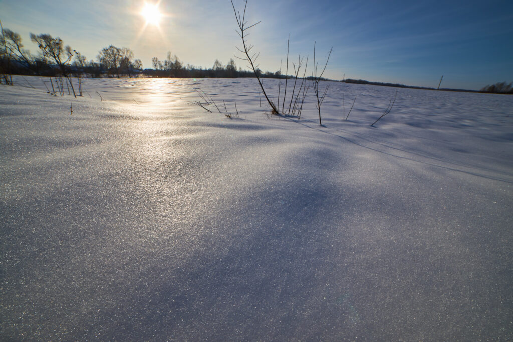
If Gotz were watching for the first physical sign of a warm, dry snow pattern, she said she’d look for sun crusts, the hard, glossy layers that form when the sun melts the snow surface and it refreezes overnight. “These can become buried later and can be problematic layers,” she said. Elevation matters too. At Big Sky, she said, you could have dry snow up high and melting snow at the base.
Gotz wouldn’t generalize about a late-start, early-melt season, but said much of it depends on temperature and precipitation during the winter, even if snow arrives later and melts out earlier.
A season like that raises the question of water supply. “When we talk about something like
a late start and an early end to a season, then we start talking more about snow as a water resource,” What’s missing, Gotz said, is timing. “If we don’t know exactly how much snow, or how much time will pass between snowstorms, we won’t know exactly how that snowpack will evolve.”
Cold, shallow snowpacks tend to grow faceted layers at its base, meaning the layers are angular, sugary and bond poorly, but that weak layer “can last well into the spring if the conditions are right.”
Warmer temperatures bring less faceting, but still could result in a fairly stable snowpack. ” “Or we could see warming that leads to the formation of crusts and weak layers around the crusts,” she said.
Asked what people get wrong, Gotz explained there isn’t one main misunderstanding. Snow conditions often have different drawbacks depending on their temperature and depth. Some assume a warm, dry winter means less faceting and a safer snowpack, but crusts and liquid water percolating through the snow “can also lead to dangerous conditions,” Gotz noted.
Local stakes
Snowpack is a major source of the region’s water, Verplanck said. If winter precipitation falls short again, Heard reiterated, the region could end up in a “worst case scenario” of drought and fires by spring and summer.
Heard also warned that mixed precipitation at lower elevations could bring freezing rain, sleet and icy roads.
For skiers, Heard expects a later start, an earlier end and periodic snow showers in between. Gotz said she doesn’t have a great answer on ski quality. “I always think that more snow is better for ski conditions,” she said.
The CPC updates its outlook Oct. 15, and the snow itself will have the final word. The forecast can show how warm and dry the winter is likely to be, but it can’t tell you what’s happening inside the snow, or where it will matter. For Gotz, that gap is part of the draw. Snow is fascinating, she said, because it changes so much that “you can’t imagine that you know the answer.” You’ll always learn more, she said, by looking at it and studying it.