Subscribe
  • News
    • Local
    • Bozeman
    • Regional
    • Business
    • Real Estate
    • Outlaw Partners
  • Arts & Entertainment
  • Opinion
  • Sports
  • Yellowstone
  • Events
Menu
  • News
    • Local
    • Bozeman
    • Regional
    • Business
    • Real Estate
    • Outlaw Partners
  • Arts & Entertainment
  • Opinion
  • Sports
  • Yellowstone
  • Events

How’s the streamflow for your local river?  

in Regional
How’s the streamflow for your local river?  

The Missouri River runs through Three Forks on Aug. 8, 2025. PHOTO BY LAUREN MILLER /MTFP/CATCHLIGHT/RFA

EBS Staffby EBS Staff
August 15, 2025

While most of Big Sky Country’s major waterways are flowing at normal to above-normal levels, a handful of key streams are significantly below their typical summer volume. 

By Jacob Olness MONTANA FREE PRESS 

As we enter the homestretch of summer, Montana’s rivers tell a tale of two states. 

While most of Big Sky Country’s major waterways are flowing at normal to above-normal levels, a handful of key streams are significantly below their typical summer volume. Data from 49 U.S. Geological Survey monitoring stations across the state reveal a mixed hydrological picture as of early August. 

Article Inline Ad Article Inline Ad Article Inline Ad
ADVERTISEMENT

The standout performer is the Tongue River in eastern Montana, particularly at the dam fed by the Tongue River Reservoir, which has been at or slightly above historic averages this year. It’s the only Montana waterway we looked at that’s hitting the highest flow category. The Tongue River remains healthy all the way to Miles City, where it feeds the Yellowstone River. Meanwhile, the Little Bighorn River at the state line near Wyola also looks healthy, particularly as it crosses the border with Wyoming. 

GRAPHIC BY JACOB OLNESS / USGS DATA

But three Montana waterways are struggling: The Yellowstone River near Livingston, the Blackfoot River near Bonner and much of the Clark Fork River, particularly the stretch upstream of Missoula, are running much lower than normal for this time of year. 

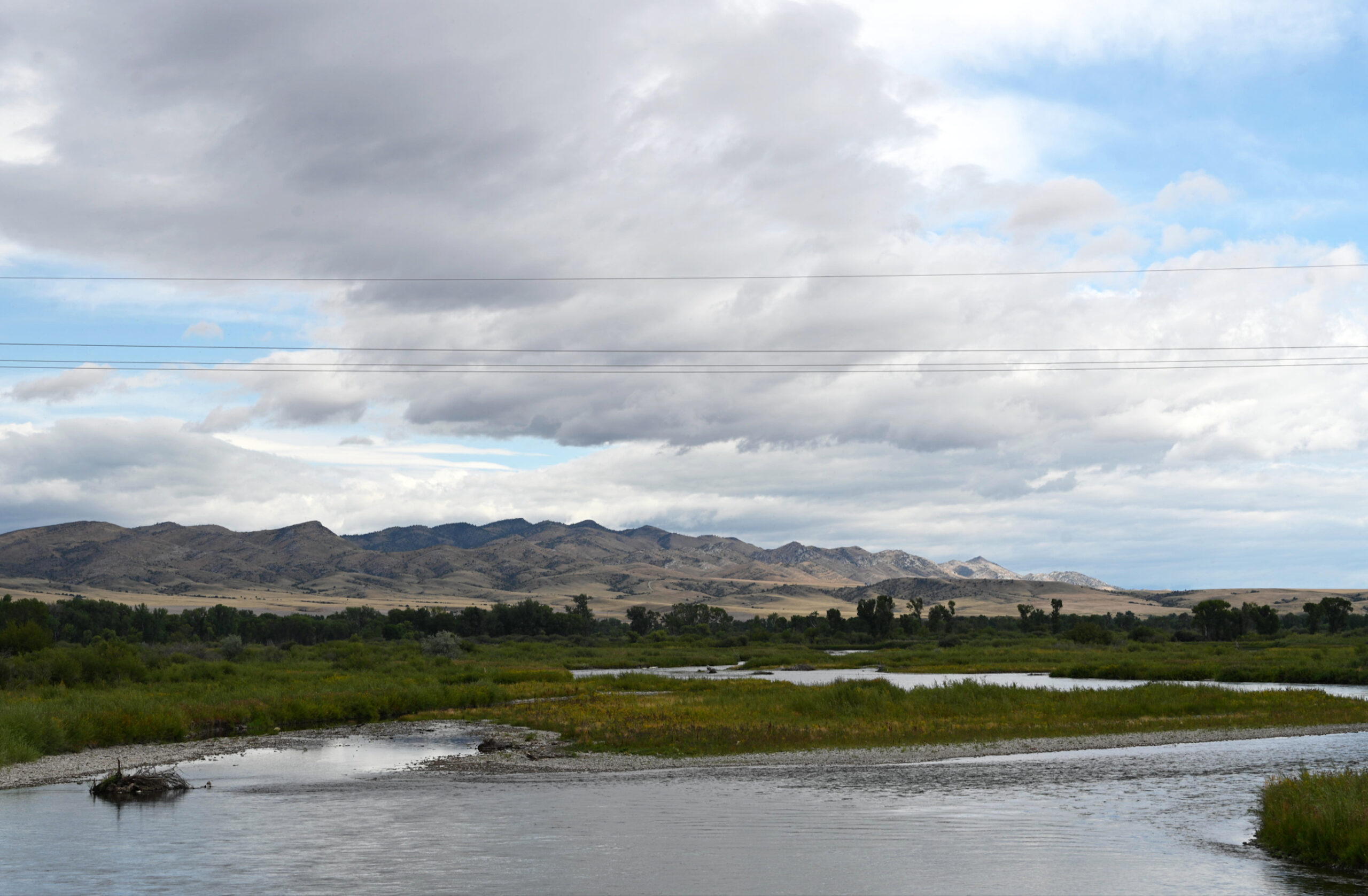
The Missouri River system, Montana’s longest waterway, presents a generally positive picture. From its headwaters near Three Forks all the way to the North Dakota border, most Missouri River monitoring stations show normal to above-normal flows. While our analysis focuses on Montana, the river maintains these healthy levels as it winds 2,300 miles from the state’s Rocky Mountain Front to its confluence with the Mississippi River near St. Louis. 

The Yellowstone River system tells a more complicated story. While the main stem of the Yellowstone generally flows at normal levels through much of its journey across southern Montana, it struggles at the gauge near Livingston — running much lower than normal at a critical point where the river exits Yellowstone National Park and enters the state’s agricultural heartland. 

This pattern of variation reflects what happened upstream months ago. The western side of the Rockies, particularly areas feeding the Flathead, Clark Fork and Blackfoot rivers, saw significantly lower-than-normal snowpack last winter. Meanwhile, the eastern half of the state (no stranger to drought in recent years) saw average to above-average snowpack across much of the region. The Smith-Judith-Musselshell basin that feeds the Missouri received 15% more snowpack than average in early spring, helping explain why the Missouri system is running so well while western Montana streams struggle to keep pace. 

Yellowstone National Park Lodge Yellowstone National Park Lodge
ADVERTISEMENT

Listen

Hoary Marmot Podcast

Joe Borden & Michele Veale Borden

Lastest Episode
See More Episodes
outlaw realty montana outlaw realty montana
ADVERTISEMENT
Outlaw Realty Big Sky Bozeman
ADVERTISEMENT

Upcoming Events

Aug 16
11:00 am - 6:00 pm Event Series

Big Sky Artists Collective August show

Aug 17
11:00 am - 6:00 pm Event Series

Big Sky Artists Collective August show

Aug 18
9:00 am - 12:00 pm Event Series

Community Hike Big Sky

Aug 18
11:00 am - 6:00 pm Event Series

Big Sky Artists Collective August show

Aug 18
5:30 pm - 6:30 pm Event Series

Al-Anon Support Group

View Calendar
Event Calendar

Related Posts

Female grizzly bear struck and killed on Ousel Falls Road 
Local

Female grizzly bear struck and killed on Ousel Falls Road 

August 15, 2025
HRDC to host Gallatin Valley ‘Spring for Food Drive’ on April 5 
Bozeman

Bozeman Municipal Court, HRDC to host Food For Fines day

August 14, 2025
Horn Fire near Ennis prompts evacuations, road closures
News

Horn Fire near Ennis prompts evacuations, road closures

August 14, 2025
Author Michael Punke to speak at Montana State convocation Aug. 19
Regional

Author Michael Punke to speak at Montana State convocation Aug. 19

August 13, 2025

An Outlaw Partners Publication

Facebook-f Instagram X-twitter Youtube

Explore Big Sky

  • About/Contact
  • Advertise
  • Publications
  • Subscriptions
  • Podcast
  • Submissions

Outlaw Brands

  • Mountain Outlaw
  • Plan Yellowstone
  • Big Sky PBR
  • Wildlands Music
  • Outlaw Partners
  • Outlaw Realty
  • Hey Bear

Copyright © 2025 Explore Big Sky | Terms of Use | Privacy Policy | Your Privacy Choices

No Result
View All Result
  • News
    • Bozeman
    • Regional
    • Business
    • Outlaw Partners
  • Yellowstone
  • Arts & Entertainment
  • Sports
  • Opinion
  • Real Estate
  • Events

©2024 Outlaw Partners, LLC. All Rights Reserved.

Explore Big Sky Logo
  • News
    • Local
    • Bozeman
    • Regional
    • Business
    • Real Estate
    • Outlaw Partners
  • Arts & Entertainment
  • Opinion
  • Sports
  • Yellowstone
  • Events
Subscribe
Facebook X-twitter Instagram Youtube