By Paul Swenson EBS COLUMNIST
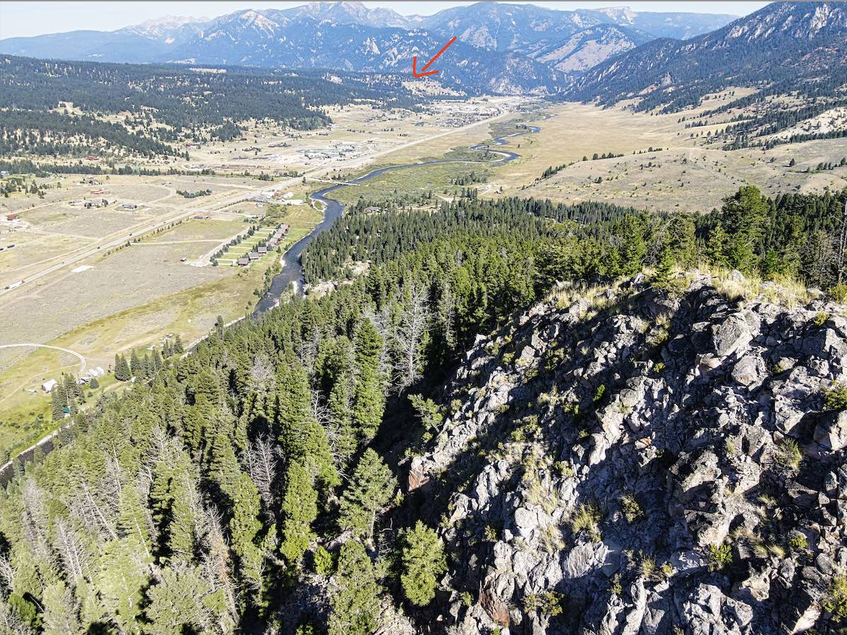
Question of the of the day: What do Crown Butte, Yellowstone National Park, Lemon Knob (between Porcupine Creek and Twin Cabin trailheads), the “Palisades” along the Madison River, the cliffs above the Hummocks trail, the top of Michener Creek, Grouse Mountain, and the cliffs above Albino Lake, have in common? Hopefully you already guessed by my apparent misspelling in the title. The answer is “tuff.” Nice job. For those of you still scratching your head, let us examine what a tuff is and why it is here in the Big Sky area.

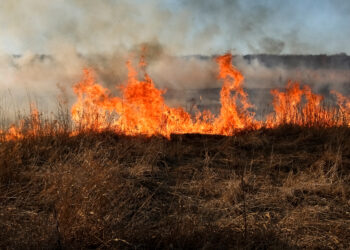
Visualize volcanic eruptions like the ones you see on the news; lots of lava, ash and explosions. For those of you old enough, think Mt. St. Helens, Mt. Pinatubo, or very recently, Hunga Tonga-Hunga Ha’apa. They all send volcanic material up into the atmosphere where it must eventually fall back to the ground as an ash-fall. Most of the time the ash is cool by the time it makes it to the surface, covering the ground in fine, unconsolidated ash which can be swept away by wind, water, or the residents that live downwind.

But what if the eruption were so big that the ash thrown into the atmosphere does not cool down and returns to the surface hot? Or travels down the side of the volcano in a glowing hot cloud of ash, rock, and gas, called a pyroclastic flow? (pyroclastic: pyro– of fire, and clastic– formed from older rocks). These flows are hot enough that the shards of ash, like tiny pieces of glass, are welded together. This forms a rock called a welded ash-flow tuff.

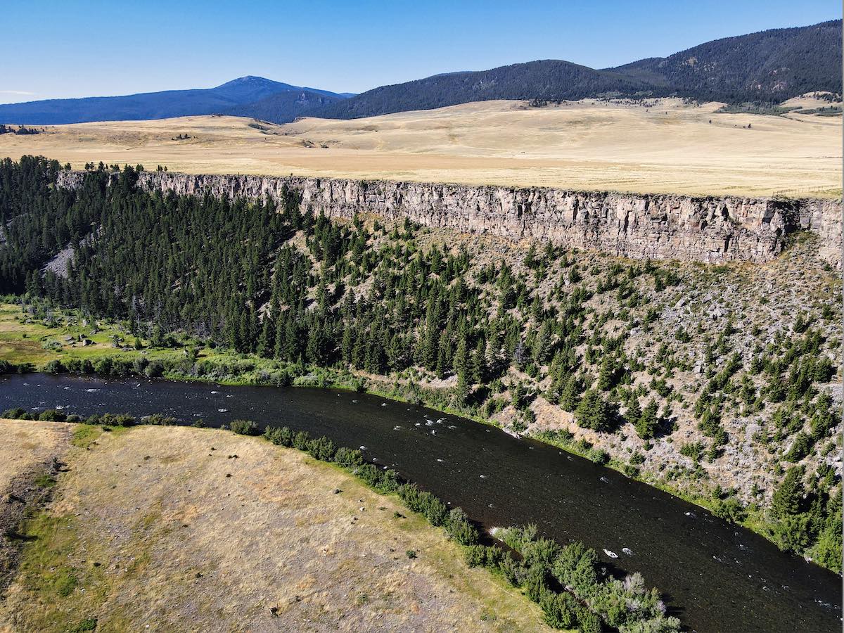
Welded tuffs are relatively hard to erode compared to other types of rocks, especially sedimentary rocks. Therefore, if the welded tuff lies on top of softer rocks such as shale, it can form a cap rock that eventually, through time and erosion, sit at the top of a hill or mountain and form the cliffs that we see today.
The welded tuff that affects our local landscape is called the Huckleberry Ridge Tuff, or HRT, named after the location in Wyoming, where it was first described. There are a myriad of research papers describing the minerology, petrology, eruptive history, and the areal extent of the tuff. If you want to get into the nitty-gritty science of it, search the internet and you will find as much information as you want. But I would like to highlight the eruptive part.
Yellowstone has been shaped by three major eruptions, the first being the largest, and the one that produced the HRT. About 2 million years ago, a series of eruptions began that lasted for several decades. During these very large eruptions, the magma chamber that supplied the material for the eruptions becomes structurally weakened by the evacuation of erupted material causing the roof of the magma chamber to collapse, forming a large basin called a caldera.
This large eruption of Yellowstone was immense. When compared to Mt. St. Helens, whose total volume of ash erupted was 1.3 cubic kilometers, Yellowstone’s 2.1-million-year eruption was monstrous: 2,500 cubic kilometers of ash and ejecta. That’s 2,000 times larger than St. Helens! So where did it go and how do we know how much was erupted? All we have to do is look around.
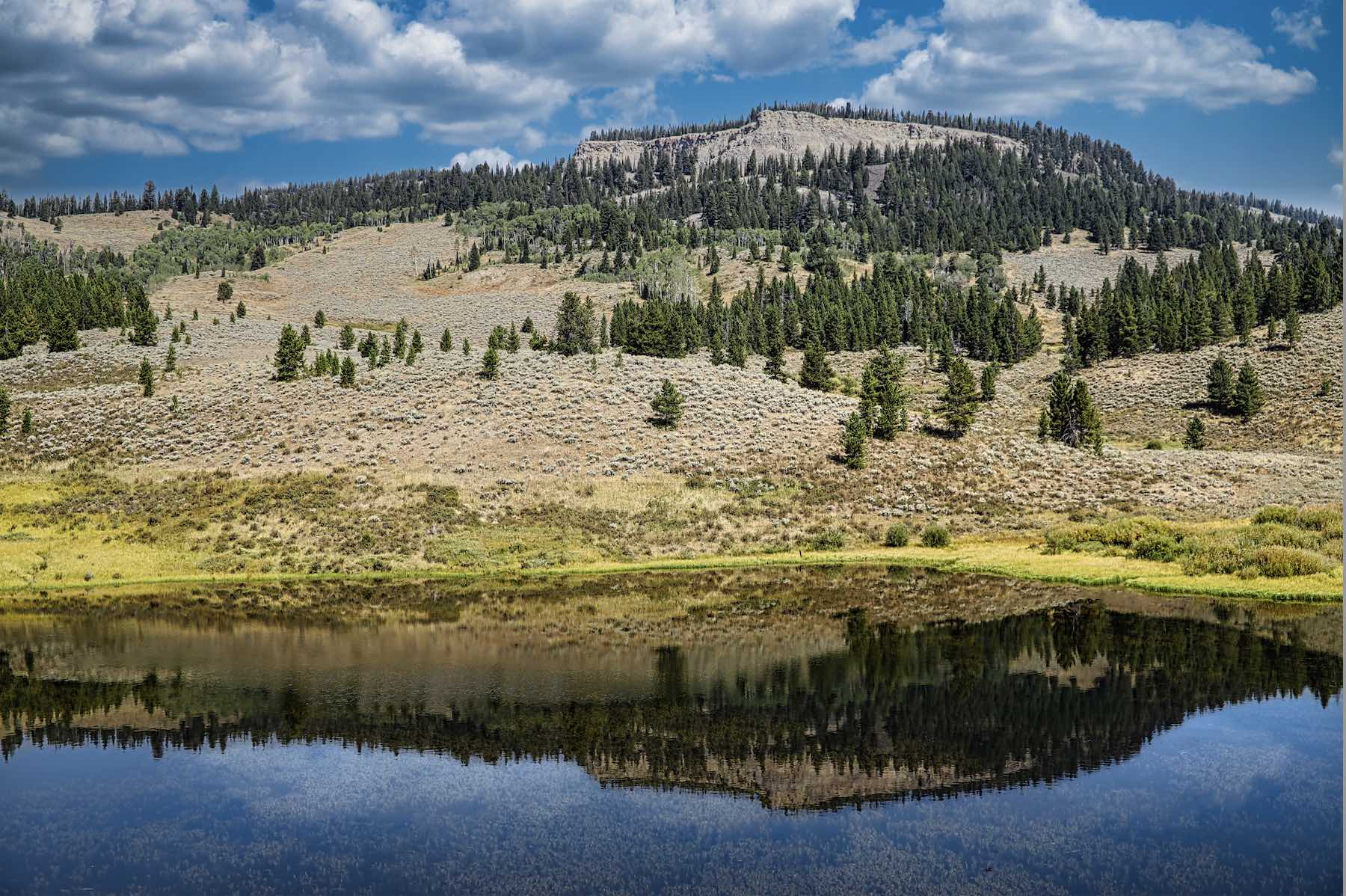
The areas identified in the opening are all located close to Big Sky. The HRT cliffs above the Hummocks trail system show 100 feet of ash flow. The Crown Butte HRT thickness is about 300 feet, and it continues to get thicker and thicker as you approach Yellowstone. Of course, we are not the only valley affected, the ash also flowed down the Madison, Yellowstone, Henry’s Fork, Shoshone, and Snake River Valleys. And what is so cool about that, is when you recognize the HRT outcrop, you know where the valley floors were 2.1 million years ago, and how much erosion has happened since. Take a look at the aerial photo of Lemon Knob. Everything below that level has been eroded in the last 2 million years. Wow.
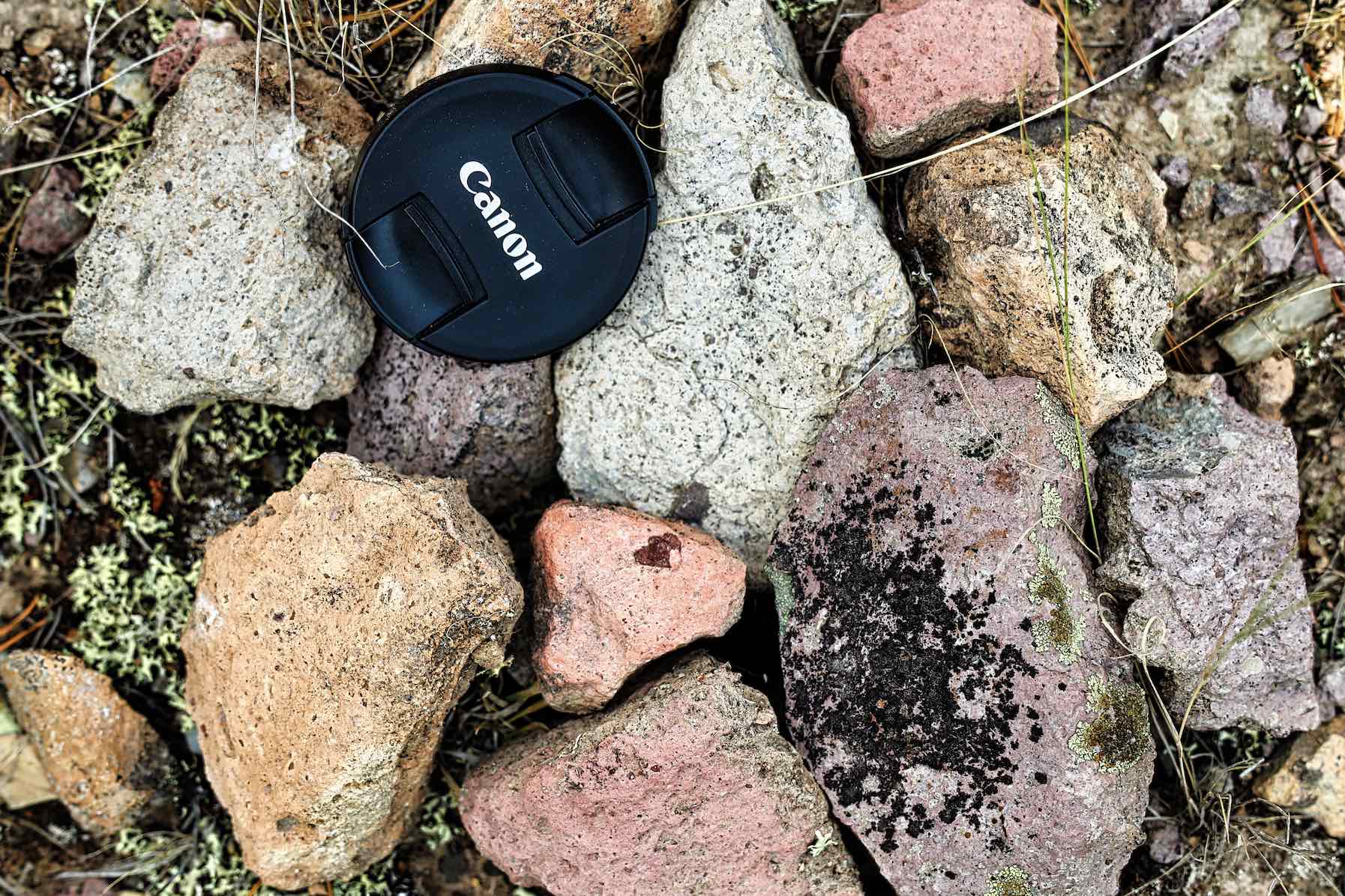
Up close, what does this HRT look like? It varies in hardness, thickness, and color, but when one is walking around on the River Trail between Porcupine and Twin Cabin, or on the Hummocks System, or any of the other identified locations, you will notice rocks that are white, tan, gray, or pink and have small sparkly minerals in them that catch sunlight and make the rocks “twinkle.” This picture shows a small sample I collected in two minutes walking along the River Trail.
You are not allowed to take samples of rocks, plants, or anything else out of Yellowstone, but once you find pieces of HRT outside the park boundary, you can take home a chunk of the Yellowstone supervolcano.
Paul Swenson has been living in and around the Big Sky area since 1966. He is a retired science teacher, fishing guide, Yellowstone guide and naturalist. Also an artist and photographer, Swenson focuses on the intricacies found in nature.