By Jason Bacaj MANAGING EDITOR
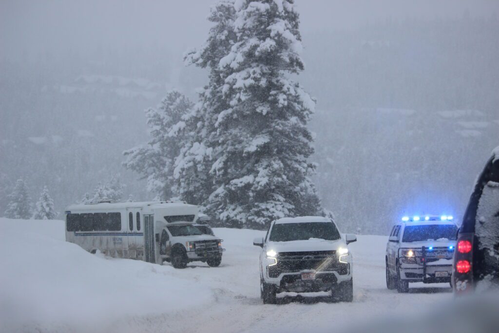
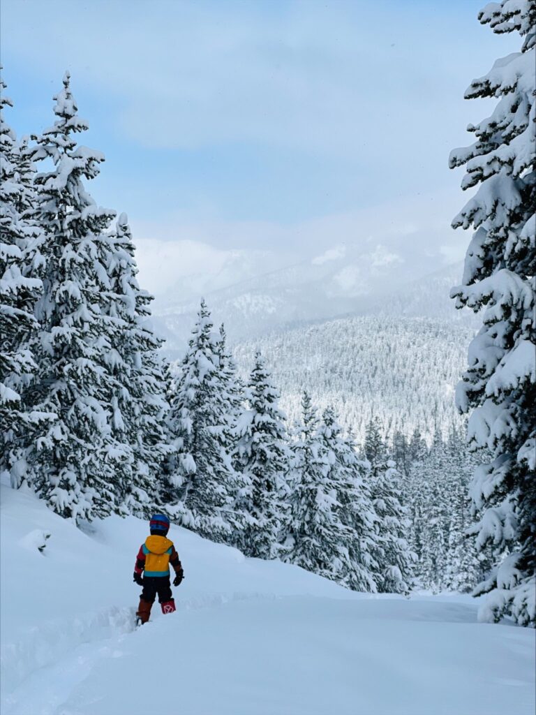
A winter storm that began Friday and stretched into the weekend dropped nearly 3 feet of snow around Big Sky and Bozeman and pushed temperatures to around minus 30 and minus 40 degrees around southwest Montana.
The area around the Gallatin Valley was primed for a snowstorm, said Cody Moldan, lead meteorologist with the National Weather Service in Great Falls. The days preceding the winter storm saw warm conditions and “quite a bit of Pacific moisture” in the upper atmosphere before a cold front swooped into the region.

“It was an overall good setup for heavy snow for us,” Moldan said.
The cold air turned out to be efficient at wringing that moisture out of the air and bringing it down as fairly heavy, wet snow before temperatures dropped further. It favored the northern mountains, he said, with the Bridger Range catching the most snowfall. Sites from Bridger Bowl to SNOTELs farther north consistently reported between 27 inches and 31 inches of snow.
Moldan said the Big Sky area snowfall totals ranged from 19 to 26 inches. The Tobacco Root and Gravelly mountains west of Big Sky say more than a foot of new snow, NWS data show.
The heavy snow and cold weather delayed openings over the weekend of ski areas and zones within those areas. Due to the cold, both Bridger and Big Sky Resort didn’t open until mid-morning on Sunday.
Many large natural and human-triggered avalanches occurred throughout the storm cycle, according to the Gallatin National Forest Avalanche Center forecast for Jan. 30. There were no reports of injuries or burials over the weekend. But avalanche forecasters found recent slides breaking on layers of surface hoar buried beneath the new snow around Cooke City and south of Big Sky in Taylor Fork.
Alex Marienthal wrote in the Jan. 30 GNFAC forecast that fresh windslabs will be easy to trigger and carry the risk of stepping down to other buried weak layers, causing deeper and wider slides.
Temperatures turned subzero late Saturday and remained there through early Monday afternoon.
The area around West Yellowstone saw the coldest temperatures, as a NWS station reported minus 41 degrees at 7:39 a.m. Monday morning. Moldan said the Bozeman airport had a reading of minus 29. The only record low temperature set in the area, he said, was in Dillon, where a preliminary record daily low of minus 27 was set Monday morning, breaking the previous record, which dated back to 1951.
The rest of the week is expected to be warmer, Moldan said. Cold air is expected to linger in the valleys, but he said that thermometers ought to swing back up to around 32 degrees by mid-week—signaling the potential for a roughly 60-degree temperature swing in just a few days.