By Ian Hoyer EBS CONTRIBUTOR
Reading the daily avalanche forecast is the best way to prepare yourself for the snow conditions you’ll encounter when you head into the mountains. In southwest Montana you’ll find the forecast at mtavalanche.com. Avalanche.org is the place to find the local forecast if you’re traveling elsewhere. Avalanche forecasters work hard to collect weather and snowpack information and distill it into an easy-to-read forecast that will identify the day’s potential avalanche hazards. Take advantage of that resource and set yourself up for success.
Once you’re out there, you also need to stay alert and watch for warning signs that the snow is ready to avalanche. Make a plan before you head out, but be ready to back off if needed. Listen to what the mountains are telling you. Watching for “Red Flags” is one tool that can help.
Recent avalanches
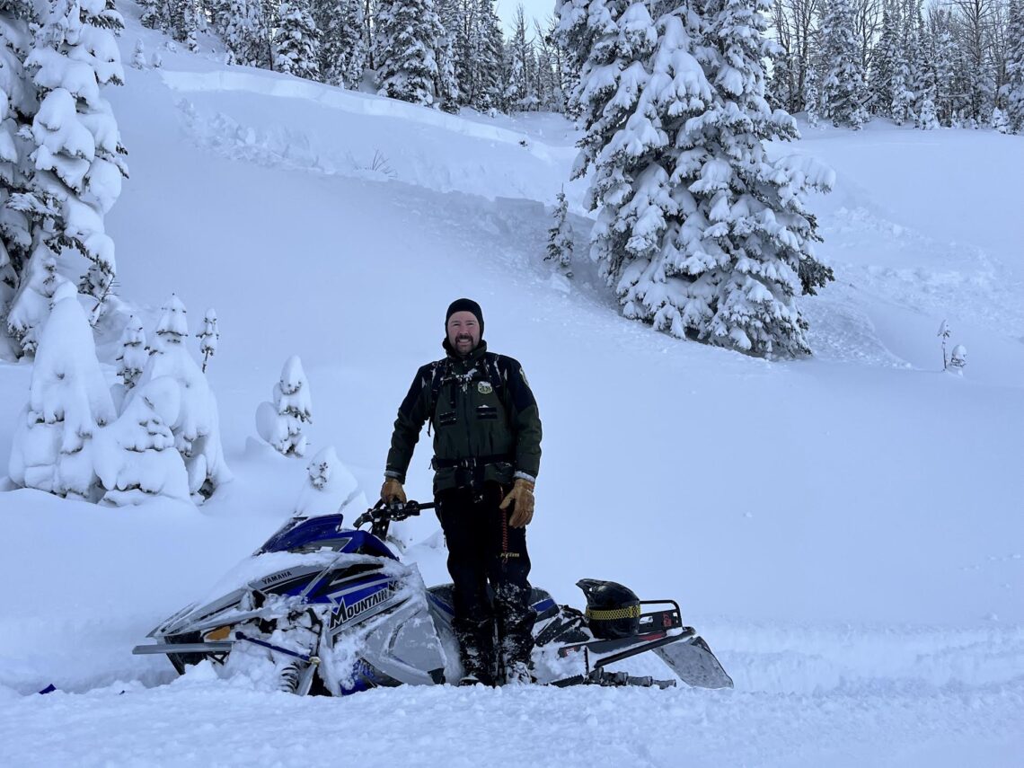
Seeing avalanches that broke within the past 48 hours is the clearest sign that triggering another slide is possible. If avalanches are breaking on their own, or you see someone trigger an avalanche, the odds point towards more of the same. If you see recent avalanches, avoid steep slopes for the day.
Collapsing or cracking
If you feel the snowpack collapse under you, hear a “whumpfing” sound, or see cracks shooting out far into front of you—this is a sign that the snowpack is very unstable. You almost just made an avalanche, but weren’t on a steep enough slope for it to slide downhill. If you see these signs of instability, stay off slopes steeper than 30 degrees. If you don’t, you’re likely going to trigger a slide.

Heavy snowfall
New snow adds weight to the snowpack. The more weight that’s added and the faster it’s added, the more likely the snowpack will reach its breaking point. Be alert whenever it snows, but a foot of new snow in the past 24 hours definitely means you are likely going to trigger slides.
Windblown snow
Wind drifting can load a slope really quickly often depositing snow three to five times faster than snow falling from the sky. Blowing snow and fresh drifts are indications of wind loading and increased avalanche concerns on wind loaded slopes.
Rapid melting
Water in the snowpack, whether from melting on sunny days or rain, makes for unstable conditions. Not all warmups cause avalanches, but be very suspicious anytime the snowpack is wet. If you’re sinking in past your ankles in wet snow, it’s time to avoid steep slopes or find a shadier slope.
Remember that not seeing these “red flag” signs of instability doesn’t mean the snowpack is safe. But if you watch for these signs and back off if you see them, you’ll avoid many of the most clearly unstable situations.
Stay safe and enjoy springtime in the mountains!
Ian Hoyer is an avalanche forecaster for the Gallatin National Forest Avalanche Center.


