By Taylor Anderson
This year’s heavy winter snowfall and wet spring
coated the high peaks with lavish snow. Chilly,
early spring weather may indicate a long runoff until
the higher temperatures of summer hit. This will
give Montana’s rivers a nice spring flush—benefitting
their ecosystems with the cleaner river bottoms and
new habitat that come with higher flows.
GALLATIN RIVER

Locals sometimes take the drive along Highway 191
from Bozeman to Big Sky through the Gallatin River
Canyon for granted. For miles, high peaks hover over
its narrow valley, clear to Wyoming, paralleled by the
path of the winding Gallatin River.
The area saw an abundance of snowfall this winter,
and the Gallatin River Basin gathered 26 percent
more precipitation than the 30-year average, 43 percent
higher than the same time in 2010. In mid-April
the Gallatin was discharging at 309 cubic feet per
second, down from its 368 cfs average, and received a
late two feet of snow.
According to Mike Vaughn, a Madison and Gallatin
area fisheries biologist with Montana Fish, Wildlife
and Parks, trout flourish at the higher stretches of the
Gallatin, but numbers are biggest in the Canyon.
The higher stretches of the Gallatin have, “something
on the order of 2,000 fish per mile that are
greater than six inches,” Vaughn said. “Down in the
Canyon it’s even higher, we run about 5,000 fish per
mile. Mostly rainbows.”
They’re not hogs, averaging about eight to 14”. The
cold water isn’t ideal for trout movement or growth.
Warmer temperatures bring more bugs, and the
Gallatin streams generally have lots of bugs during
the late spring, Vaughn said.
The fourth-highest Gallatin river crest in history occurred
in February 1996, when 10.18’ of water in the
river overwhelmed banks, fit for around six or seven
feet before flooding. The Gallatin can get very low at
stretches during the late, dry summer months, and
prolonged runoff is preferred.
Higher waters recycle riverbed sediments. Although
toxic sediments don’t plague these rivers like they do
water near mines and dams like the Clark Fork, (the
Milltown Dam Reservoir contained 6.6 million cubic
yards of sediment before being declared a Superfund
Site), the Gallatin benefits when water washes silt and
other fine sediments downstream.
When peak spring runoff will hit is anyone’s guess.
The average date for the Gallatin before runoff tapers
is June 6, at 5,193 cubic feet per second, but the earliest
peak spring runoff date was in May of 1934. Peak
runoff has come as late as the fourth of July, in 1975,
so pinpointing this year’s date is nearly
impossible.
UPPER YELLOWSTONE RIVER
From Gardiner, this river’s enormous power winds
north through treacherous mountain terrain until
it reaches Livingston, where it turns and heads
eastward.
The Upper Yellowstone River Basin received 123
percent of the 30-year average precipitation through
April, and the river flowed at 1,910 cfs, well above a
1,429 cfs average for April, but hardly comparing to
the 30,000 cfs flows that pounded the region east of
Livingston in 1996 and 1997.
Water will wash from icy peaks when temperatures
warm in Southwest Montana, and river channels that
have been parched for years may be quenched. Channels
fill and create new places for younger fish to live
and grow, away from bigger predators in the main
channel.
The Upper Yellowstone’s relatively enormous size
means the riverbed isn’t made of the fine sediment
seen in the Gallatin. The limestone rocks and gravel
bars are shuffled around and dispersed downstream,
and pieces of driftwood and petrified wood scatter its
rocky banks.
Trout numbers on the river are steady, and the population
last year from Yellowstone Park to Livingston was
an estimated 218 brown trout per mile, 525 rainbow
trout and 296 Yellowstone cutthroat trout, according
to Scott Opitz, the Upper Yellowstone Fisheries
Biologist with Fish, Wildlife and Parks.
Opitz said his stretch of water stays fairly cool
because of the Park’s high elevations. The river has
been closed to anglers only once in his seven years
with the service—in 2007, due to warm water.
Trout are temperamental about temperature change.
If the river is too cold, they don’t eat. When the
rivers are big, the fish tend to hunker down at the
bottom of the cool streams and rest. Most fish are
caught when it’s warmer, but this can be dangerous
for fish health, and guides shy away from fishing
warmer streams.
Big water also causes erosion that benefits fish.
It digs deep holes that provide some cooler water
during late summer months when rivers slow down
and have lost spring water. The Yellowstone’s gravel
limestone rocks are oxygenated and sent downstream,
where they land at shallower stretches to
create habitat in fast-moving waters.
The lifelike interplay between the flowing river and
its inhabitants is always changing. “The system is
made to move around a bit,” Vaughn said.
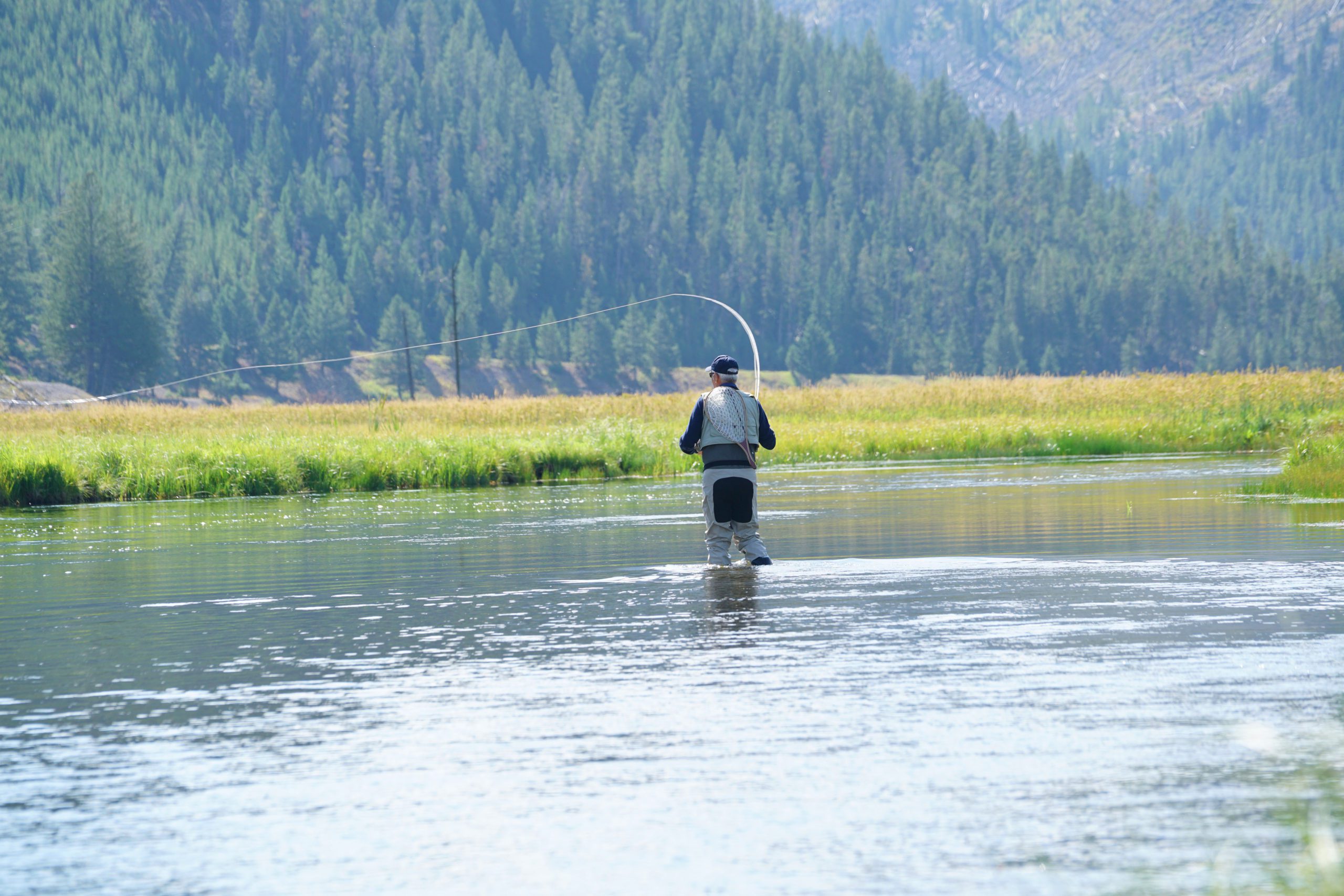
MADISON RIVER
The Upper Madison meanders a
shallow 60 miles of riffled river from
the western boundaries of Yellowstone
National Park through Hebgen
and Quake lakes, then heads north
through a beautiful agricultural
stretch near Ennis. Its Lower Madison
counterpart starts in Ennis Lake
and quickly makes its way through
narrow canyons toward its final destination
in Three Forks, where it meets
the mighty Missouri.
Differing from the Gallatin and
Upper Yellowstone, the Madison is
controlled and monitored by manmade
dams. There are good and bad
aspects to having a controlled flow,
Vaughn said. The Hebgen Lake dam
assures high flows year round, but
the river doesn’t benefit from the
high flowing runoffs that clean rivers
in early summer.
In mid-April, the upper reaches of
the Madison were running at 1,000
cfs, and had 12 percent more
than average total precipitation.
The Madison below
Ennis Lake was right around
the average of 1,560 cfs.
Both stretches of the Madison
have held steady numbers
of fish since recovering
from a whirling disease
breakout that devastated
trout populations for much
of the 1990s. Upper Madison
fish numbers are around
2,500 rainbows per mile and
2,000 brown trout per mile.
Lower Madison levels are
about 1,500 rainbows and
1,000 brown.
“We may not have the numbers
we had before whirling
disease,” Vaughn said, “but the
numbers are now fairly strong.”
Bob Merryman is in his 21st year of
guiding with Gallatin River Guides
in Big Sky. He said a high quantity
of water doesn’t always indicate a
healthy stream, and that the right
water and air temperature make
happy fish.
Merryman said anglers should be
careful to know their impact on fish
populations during late summer,
during high temperature days. The
warmer waters of the Lower Madison
can be a stressful habitat for trout,
and catching them during warm
water situations often times means
hurting the fish.
“If they’re doing catch and release (on
warmer days), they should probably
just keep them because they’ll probably
kill them anyways,” he said.

Photo: Pelicans on the Madison River, May 2011